GRANGETOWN IMAGE GALLERY
19 IMAGES
Images are presented in chronological order, starting with the oldest.
 (1901) Grangetown Railway Station
 (1913) Grange Farm, Clive Street
 (1920s) Clarence Road Swing Bridge
 (1940s) Stoughton Street destroyed by bombs (Now Jubilee Street and Sussex Street) NEW
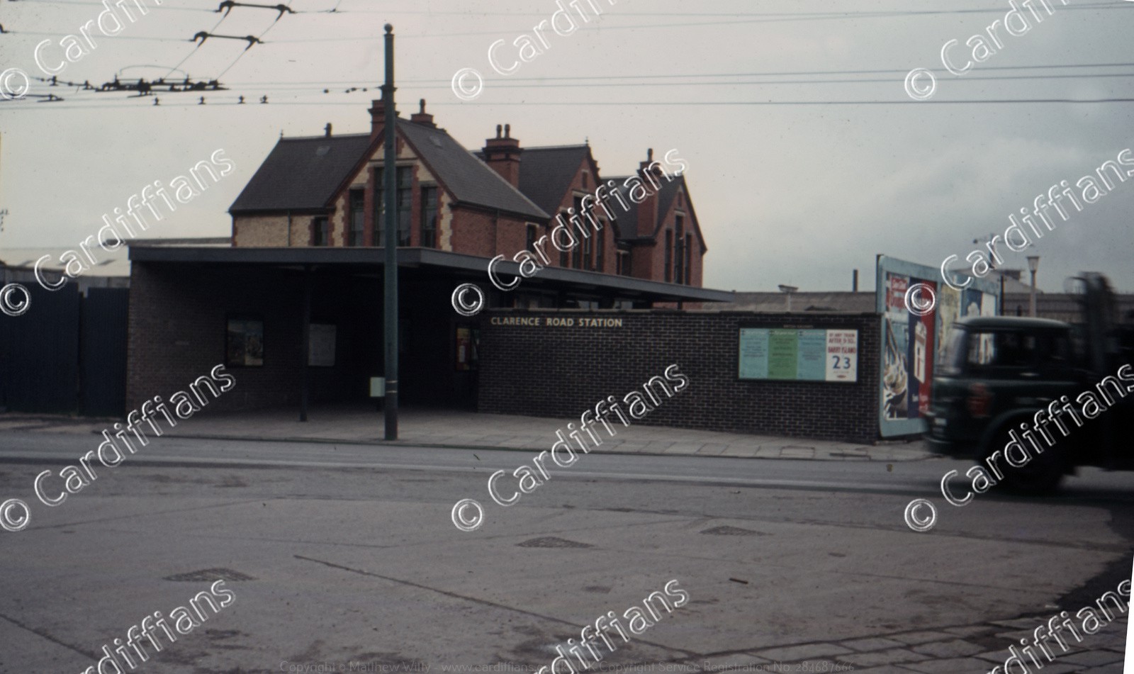 (1960s) Clarence Road Goods Station
 (1970) Clarence Road Swing Bridge 01 - Close up of metalwork design
 (1970) Clarence Road Swing Bridge 02 - Erection Plaque
 (1970) Clarence Road Swing Bridge 03 - Erection Plaque Close Up (Engineer - William Harpur M.Inst.C.E.)
 (1972) The Nu Products Co Ltd and Cafe on Court Road NEW
 (1975) Clarence Road Swing Bridge 04 - Prior to demolition
 (1975) Clarence Road Swing Bridge 05 - Closed for demolition
 (1975) Clarence Road Swing Bridge 06 - Demolition (and construction of new bridge)
 (1975) Clarence Road Swing Bridge 07 - Demolition
 (1975) Clarence Road Swing Bridge 08 - Demolition
 (1975) Clarence Road Swing Bridge 09 - Final remains after demolition
 (1976) Clarence Road Swing Bridge 10 - Final remains after demolition (view from the new bridge)
 (1977) Penarth Road Bridge, view from Taff Mead Embankment
 (2005) Grange Farm, Clive Street, rear view
 (2005) Grange Farm, Clive Street, side view
PAGE UPDATE HISTORY
06 April 2024 (Coding updates)
16 March 2024 (2 new images added, all images upgraded from 1280 to 1600 pixels wide in resolution, copyright logo prominence increased, title and coding updates)
23 September 2018 (Image title corrections and additions, coding updates)
30 December 2014 (Site rebuilt and new design launched)
July 2005 (Page Created)